MOUNT TAMALPAIS - EAST PEAK
East Peak Loop | Stinson Beach, CA
★★★★☆
A tough but satisfying climb up a North Bay icon, saturated with shaded forests and punctuated by grand views of the Bay Area.
Last hiked 4/11/21
Length: 8.0 mi.
Gain: 2040 ft.
Type: Loop
Difficulty: Strenuous
Crowds: Moderate
Dogs: No


THE RUNDOWN
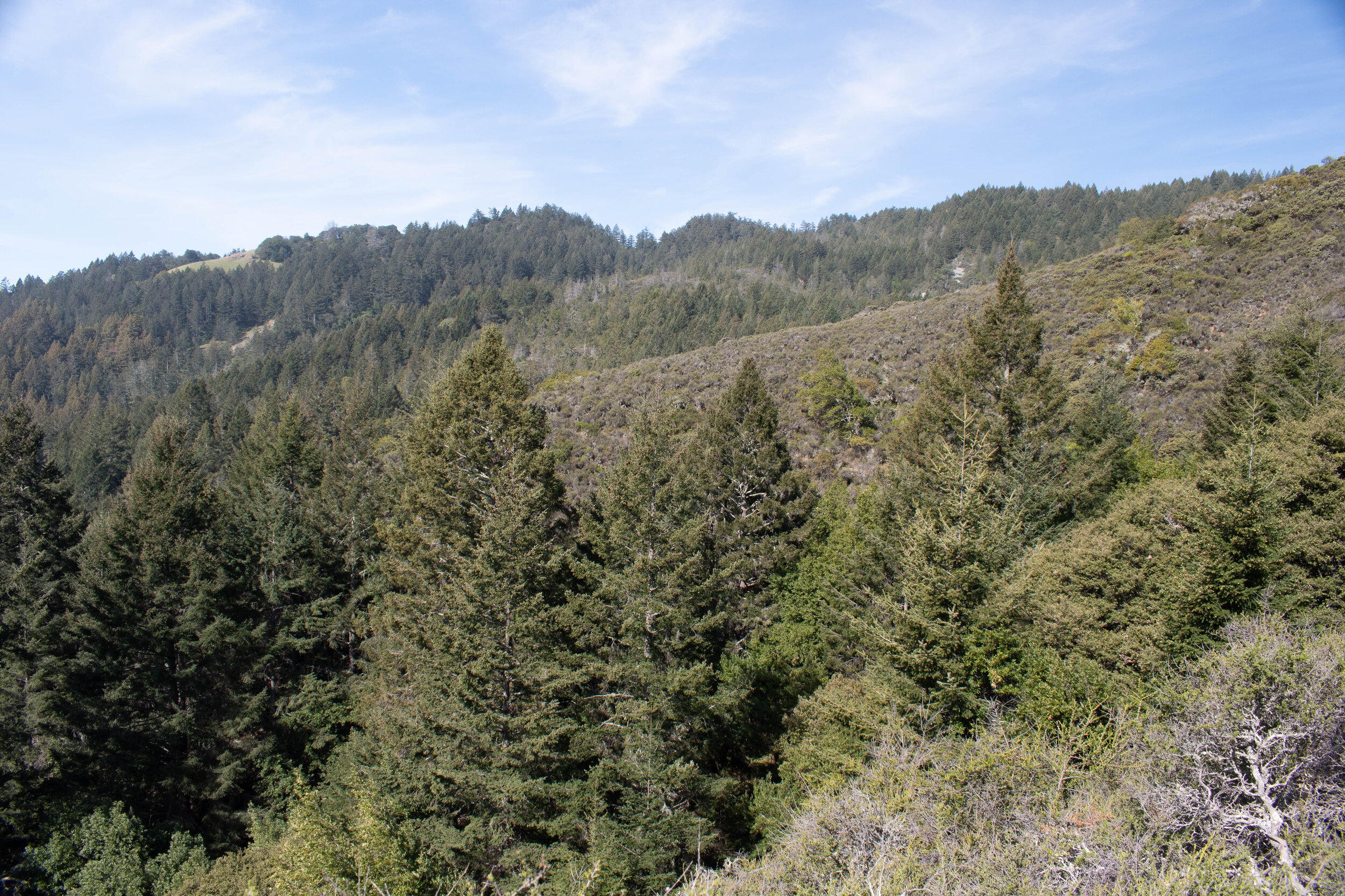
This classic North Bay hike encapsulates all the quintessential features of the region's unique landscape. Narrow, wooded switchbacks intersect with steep, exposed fire trails; quaint little bridges pop up every so often to help you across dribbling creeks; and on clear days, you are rewarded with some A+ colossal views from the peak.
Park at the Rock Spring Trailhead. The lot is quite large but still fills up quickly on weekend mornings. Plan to arrive by 9:30am to be safe. You can also park at Pantoll for an $8 fee (though this lot gets quite crowded as well).
Park Hours: 7am to sunset
Fees: None if you park at Rock Spring Trailhead. $8 to park at Pantoll or other paid lots.
Trailhead: Rock Spring Trailhead
Restroom: Yes
We took a counterclockwise loop from Rock Spring. You can also hike clockwise if you prefer a steadier, easier climb but more difficult last leg on Bootjack Trail.
Almost all the elevation gain on this hike occurs from Hogback Fire Road to the peak. Be prepared for a sweaty climb! The aptly named Old Railroad Grade provides a gradual, constant descent from the peak.
Park at the Rock Spring trailhead. Alternatively, park at Pantoll for an $8 fee.
STEP BY STEP
↑ Proceed to Cataract Trail.
→ Make an immediate right onto Rock Spring Trail. Cross Ridgecrest Blvd. and follow signs for the Mountain Theater.
↑ Near the Mountain Theater (an amphitheater), follow signs for and proceed onto Bootjack Trail.
← Make a sharp left onto Matt Davis Trail.
← Make a left onto Hogback Fire Road.
← Make a left onto Old Railroad Grade.
→ Make a right onto Fern Creek Trail (may be written as Upper Fern Creek Trail).
↑ Proceed past the visitor center parking lot and up the wooden planks to the summit.
↓ Double back down to the visitor center parking.
↑ Head down Ridgecrest Blvd. (Note: be mindful of cars)
← Make a left onto Old Railroad Grade. You should see and walk past a gate. If not, head slightly further down Ridgecrest Blvd. until you see another trailhead for Old Railroad Grade.
→ At the West Point Inn, make a right to stay on Rock Spring Trail.
Note: This turn is easy to miss. If you see the picnic tables, head slightly back up until you see the trailhead to your left. The picnic tables make for a great lunch or snack spot, though.
↑ At the Mountain Theater, continue on Rock Spring Trail back to Rock Spring parking.
Though it's no Mt. Diablo, East Peak offers magnificent views of the North Bay...
...the city...
...and beyond!
MUSINGS
Mt. Tam is a hiker's paradise. Upon each visit, we're able to experience something totally new, and with its myriad trails, the park is truly made for everyone. This time, we decided to conquer the summit of Mt. Tam itself, known as East Peak. This hike is full of trail changes and twists and turns, but as a result, gave us a nice sampling of the local terrain and introduced some variety to our six-hour hike.
After crossing a meadow, Rock Spring Trail took us immediately into the woods, where we came across Mountain Theater, a stunning stone-built, rustic, Greek-like amphitheater that caught us by surprise. Great for a photo shoot, by the way. Bootjack Trail led us down narrow switchbacks further into the woods. We quickly realized we'd have to make up all this elevation eventually, but that's part of the challenge, right?
Pretty soon, we arrived at Matt Davis Trail (yes, the same Matt Davis in our Bolinas Ridge hike!) and enjoyed a two-mile mosey among the redwoods. Then, the climb began -- almost 1300 ft. in 1.5 miles, all the way to the summit. Pace yourself on Hogback Fire Rd. and Fern Creek Trail, especially on a warm day! We took a couple of breaks on Fern Creek to enjoy the creek and its lush surroundings (but really, we were just out of breath).
Fern Creek Trail, with its steep and rocky climb, could feel like an eternity, but its ending is dramatic and well worth the burn as it deposits you right at the Visitor Center parking where you'll be met with grand views of San Francisco and beyond. However, the hike wouldn't be complete without the last stretch up the wooden planks to the summit, which provides 360° views of the Bay Area on a clear day.
Now, whenever you drive in the North or East Bay and see that unmistakable mountain reaching for the clouds, you'll remember the day you were right there at the tip, completely immersed in nature, looking out into the distance. And we think that's what hiking is all about.
MORE INFO
Some Reminders
Segments of this trail are shared between hikers and mountain bikers - make sure to be respectful and aware of your surroundings!
This route certainly isn't the most direct to get to the peak, but we chose it for greater ease of parking and a good sampling of Mt. Tam terrain. If you elect to follow in our footsteps, make sure to pay close attention to signs and look through the above map ahead of time! Some of those junctions are a bit tricky.
Helpful Resources
Official park page here
Good Eats
Delightful and tastefully made Puerto Rican food can be found at Sol Food.
Or try some delicious and authentic Mexican food at Taqueria San Jose in San Rafael - indulge yourself, we dare you! This is a spot we've visited multiple times and would revisit again.
Okay, this one may be a bit unexpected, but Andy's Local Market has a great selection. We ordered a made-to-order pizza here, and it was heavenly. Bonus points because we got to enjoy it on the benches outside with a lovely view of the wharf. (Thanks Miles for the rec!)
Last but not least, Fish. has some really fresh... fish. Local, sustainable seafood dominates the menu; we highly recommend the Portuguese red chowder and any of the grilled fresh catches paired with their housemade pasta. It's pricey but the quality is unbeatable.